 Szlak Jelonków
The Main Cieplice Walking Trail
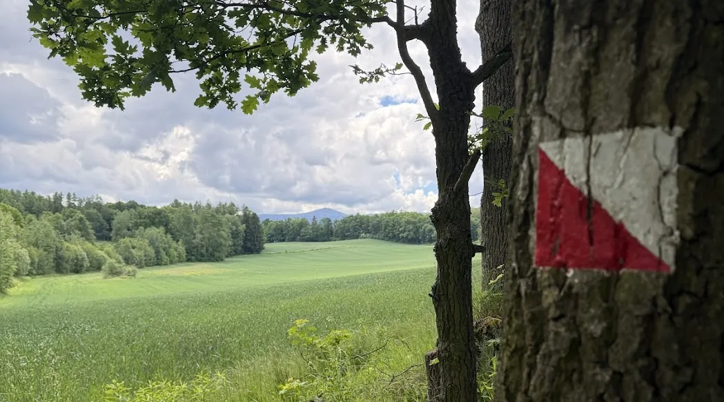
This is the easiest way to get to know Cieplice Śląskie-Zdrój from the outside: a 10.65 km loop around the spa district, starting and finishing at Plac Piastowski. The walk leads through both spa parks, passes ponds and a flooded quarry, and climbs the highest point around – Sołtysia Hill with its lookout tower. On the way it also passes three little deer. If climbing is out of the question, the same area offers a green loop – 6.4 km on the flat.
The trail was created on the initiative of the “Moje Karkonosze” association, founded in 2018. It opened officially in August 2019 and was waymarked that September. The idea was simple: one main red loop, yellow connectors for shortening it and green spurs to places just off the route. The green one goes furthest – it leads to the Grave of the Unknown Priest in the forest above Staniszów.
The trail in numbers
- Length
- 10.65 km (loop)
- Walking time
- 3–4 hours
- Elevation
- 340–434 m a.s.l.
- Total ascent
- about 115 m
- Waymarking
- a square split diagonally: white triangle above, red below
- Start and finish
- Plac Piastowski in Cieplice
- Surface
- mostly gravel paths, some paved sections
Either direction, any starting point
It is a loop, so there is no wrong direction and no obligatory start. Follow the description or go against it, join the route wherever you happen to be – by the park, below Sołtysia, at Morskie Oko – and after about 10.6 km you will come back to the same spot. The distances in the table below are counted from Plac Piastowski anticlockwise – that is how the trail runs. Above the table you can pick your own starting point and direction, and the distances recalculate themselves.
Download the GPX track (44 KB) For your phone or watch – the file contains the whole loop.
Trail map
The red line is the loop. Dashed sections are walked on a street: orange needs care, amber is quieter, blue is a residential zone. Click a pin to open a little deer.
Where you walk on a street
Although this is a walking trail, roughly 2 of its 10.65 kilometres run along streets. Only one of those stretches genuinely demands care.
- Krośnieńska street, km 6.1–6.5 (478 m) – this is the one to watch. Here the trail runs together with the green one, on the roadway, with no pavement and virtually no verge. The road leads towards Marczyce and Staniszów, so cars do use it. Walk on the left, facing oncoming traffic, keep children and dogs close, and wear something reflective after dark or in fog.
- Leśna and Junaków streets, km 8.3–9.0 (748 m). The descent from Sołtysia also follows a roadway, but traffic here is light. Ordinary care is enough.
- Cmentarna and Mieszka I streets, km 9.3–10.1 (781 m). A stretch inside a residential zone – pedestrians have priority over vehicles and cars are limited to 20 km/h. The calmest of the three.
The route, kilometre by kilometre
Distances are counted from Plac Piastowski, anticlockwise – that is how the trail runs. Pick a different starting point and direction – the table recalculates itself.
| Kilometre | Place |
|---|---|
| 0.0 | Plac Piastowski – Schaffgotsch Palace |
| 0.2 | Spa Park – bandshell, the “Edward” pavilion |
| 0.6 | the Lalkarz little deer by the Puppet Theatre |
| 1.0 | Norwegian Park |
| 2.3 | near the Podgórzyn Ponds – birds and a Karkonosze panorama |
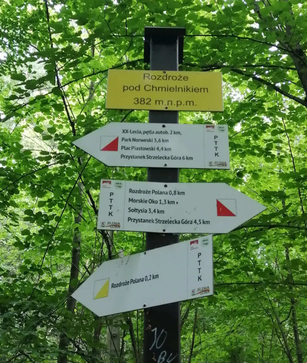
| 4.6 | Rozdroże pod Chmielnikiem, 382 m – a trail junction |
| 5.9 | Morskie Oko – a flooded granite quarry and viewpoint |
| 6.1–6.5 | Krośnieńska street – 478 m on the roadway, no pavement |
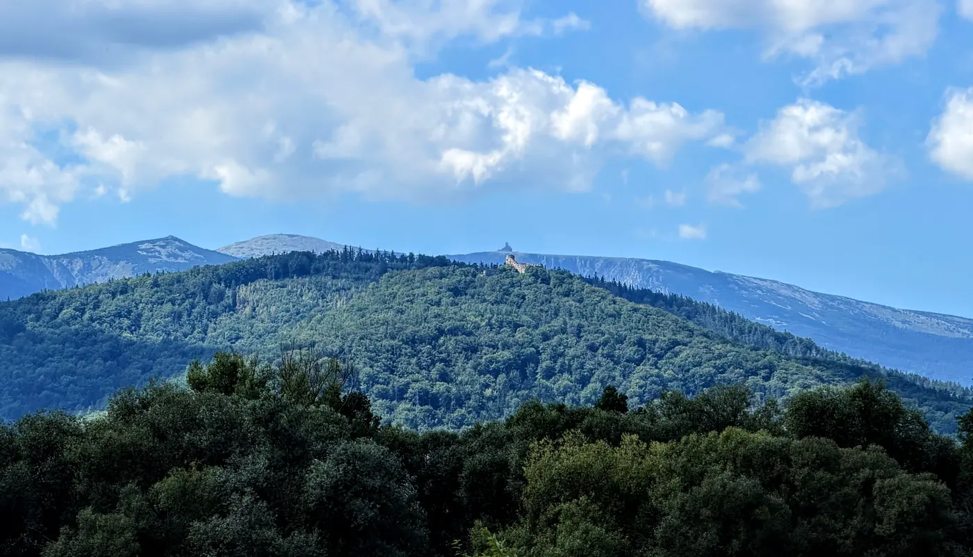
| 8.0 | Sołtysia Hill, 434 m – lookout tower, the highest point |
| 8.3–9.0 | Leśna and Junaków streets – 748 m on the roadway, light traffic |
| 9.3–10.1 | Cmentarna and Mieszka I streets – 781 m in a residential zone |
| 10.3 | the Norwidek little deer by the Norwid secondary school |
| 10.6 | Ciepliczanka i Zdrój in front of the Schaffgotsch Palace |
Three little deer on the way
The loop touches three figurines from the Little Deer Trail, all of them in Cieplice. Right at the start, 32 metres off the route, stands Lalkarz by the Puppet Theatre. Near the finish you pass Norwidek in front of the Norwid secondary school, and four metres from the end, before the Schaffgotsch Palace, waits a couple in love – Ciepliczanka i Zdrój. To collect all 30 deer, see the suggested walks across the city.
